Geographic Information System (GIS) mapping transforms network monitoring by placing devices in their physical context. For smart cities, campuses, and multi‑site enterprises, this spatial awareness dramatically reduces troubleshooting time.
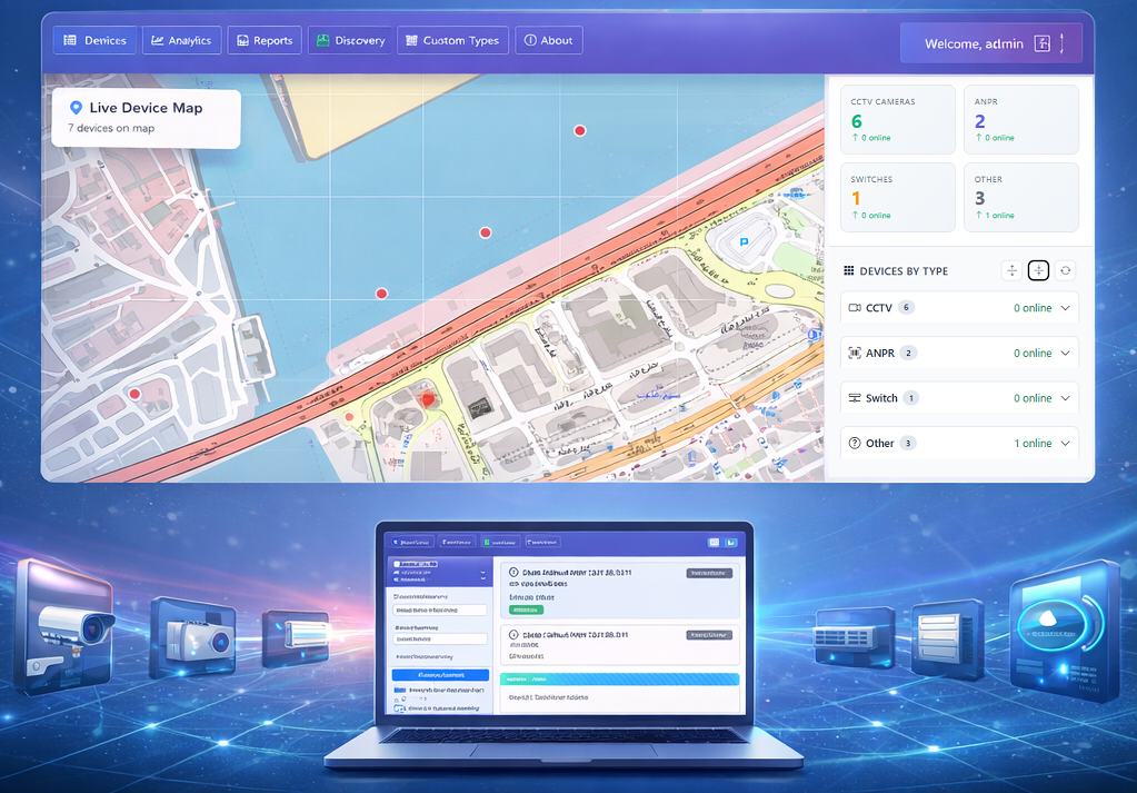
Map-Based Monitoring
Instead of scrolling through a list of IP addresses, engineers see device markers on a map. Green means online, red means offline—click any marker for instant details, latency charts, and historical data.
Device Visualization and Real‑Time Tracking
Infusionicsoft NMS allows you to assign latitude/longitude coordinates to any device. The map updates in real time as device status changes, giving you an at‑a‑glance overview of your entire infrastructure.
Benefits of GIS Integration
- Instant spatial troubleshooting
- Geofencing and location‑based alerts
- Asset inventory for field teams
- Smart city dashboard consolidation